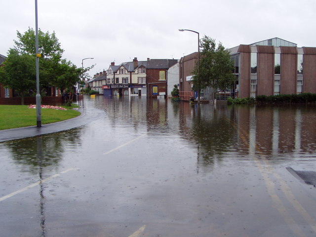
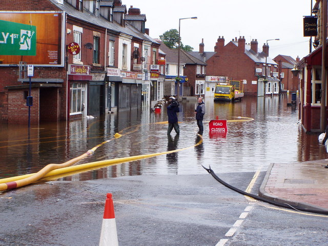
A collection of photos documenting the terrible floods that Bentley has endured. Most of the following were taken during the floods of 1932, although I have added some google images of the 2007 floods at the bottom of the page.
Photos are arranged alphabetically by street name.
Contents
- Arthur Street
- Askern Road
- Bentley Road
- Daw Lane
- Elm Crescent
- Fisher Street
- French Street
- Holly Drive
- Hunt Lane
- Rosslyn Crescent
- Rostholme Square
- The Avenue
- Victoria Road
- Unknown Locations
- Photos By Winifred Ireland
- The 2007 Floods
Arthur Street
Askern Road
 |
Askern Road near to Daw Lane.
Photo courtesy of Paul Ingamells |
Bentley Road
 |
As above.
Coloured version by Tony Sleight |
 |
Near the flood arches 1932.
Photo courtesy of Colin Hardisty |
Daw Lane
 |
| 1970 |
 |
As above.
Coloured version by Tony Sleight |
Elm Crescent
 |
Elm Crescent in 1932.
Photo courtesy of Paul Ingamells |
 |
| Same capture as above, cropped and edited |
 |
As above.
Coloured version by Tony Sleight |
 |
| Photo courtesy of Colin Hardisty |
Fisher Street
French Street
 |
As above.
Coloured version by Tony Sleight |
Holly Drive
 |
As above.
Coloured version by Tony Sleight |
 |
As above.
Coloured version by Tony Sleight |
Hunt Lane
 |
| Photo courtesy of Mark Coley |
Rosslyn Crescent
 |
As above.
Coloured version by Tony Sleight |
Rostholme Square
 |
| Photo courtesy of Graham Westerman |
The Avenue
Victoria Road
 |
As above.
Coloured version courtesy of Tony Sleight |
 |
| Photo courtesy of Colin Hardisty |
Yarborough Terrace
Unknown Locations
 |
| Miners return to work after the floods |
 |
Deliveries in Bentley in 1941.
Photo courtesy of Pete Dumville |
Photos By Winifred Ireland
The following photos were taken by Winifred Ireland in 1932. They are centered mostly around the Yarborough Terrace to Marsh Gate area. By kind courtesy of Pamela Ireland.


Bentley was my birthplace and it was very interesting to read the history and see the images. Brought back memories. Thanks to your hard work.
ReplyDelete